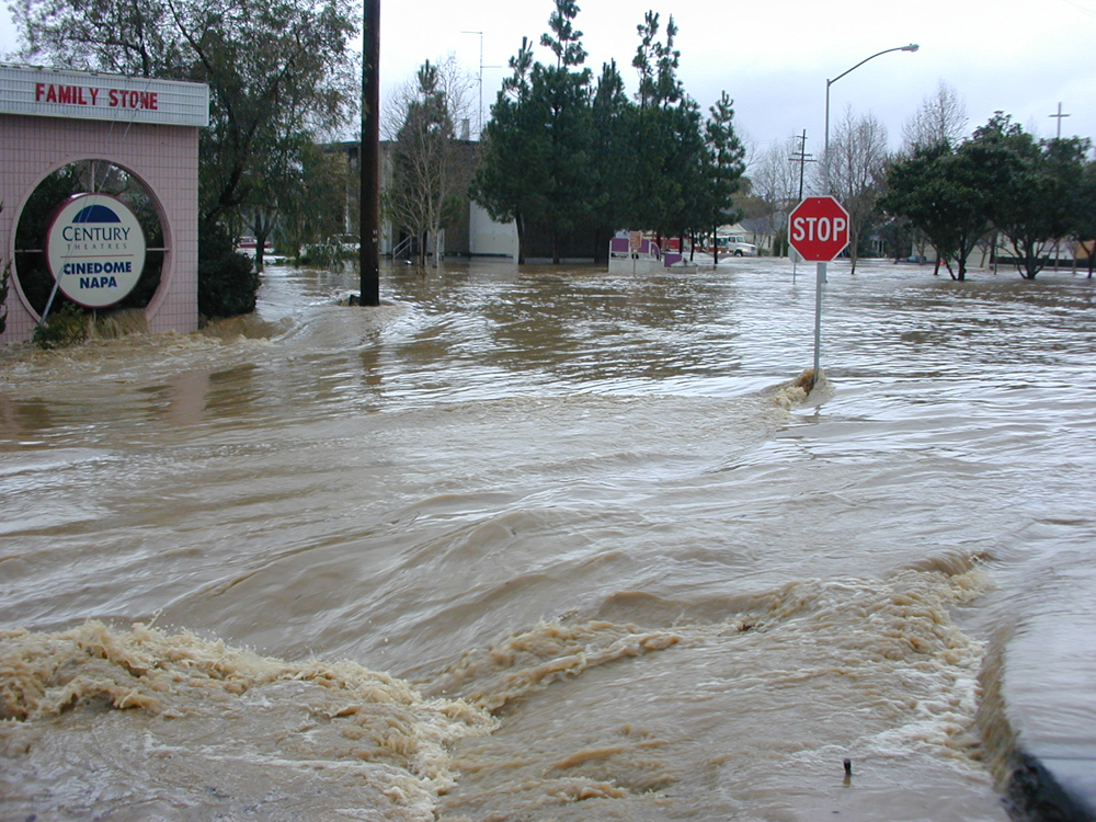
Northern California is bracing for a strong atmospheric river heading into the state, bringing up to 10 inches of rain and gusts as strong as 70 miles per hour along the North Coast.
The California Governor’s Office of Emergency Services (Cal OES) is preparing for Northern California’s first major storm of the season and recommends you do the same.
Meteorologists at the National Weather Service are forecasting a moderate to strong atmospheric river to move in on Tuesday and continue into the weekend. Prolonged periods of rain and mountain snow are expected, with the heaviest precipitation north of Interstate 80.
“This one is particularly different because it will kind of stall out along Northern California and bring many days of moderate to steady rainfall,” said Courtney Carpenter, meteorologist at NWS Sacramento. “So, we’re not expecting widespread flooding at this time but again, a lot of rain is going to cause some issues across the northern portion of the state.”
Those issues include an increased risk of power outages, flooding in small streams and low-lying areas, and debris, rocks and mudslides on roadways.

Cal OES is monitoring the storm every step of the way and is coordinating with partner agencies.
We encourage you to reduce your injury risks from falling limbs and trees by staying inside when it’s windy, not driving through flooded roadways – remember “turn around don’t drown” – and preparing for power outages.
Whenever the weather turns dangerous, remember to make safety a priority for you and your loved ones. Pack a go-bag for each family member in case you must leave due to flooding or debris flows.
For more information on emergency preparedness:
